Operating organization: University of Sassari
Funding agency: University of Sassari
Abstract:
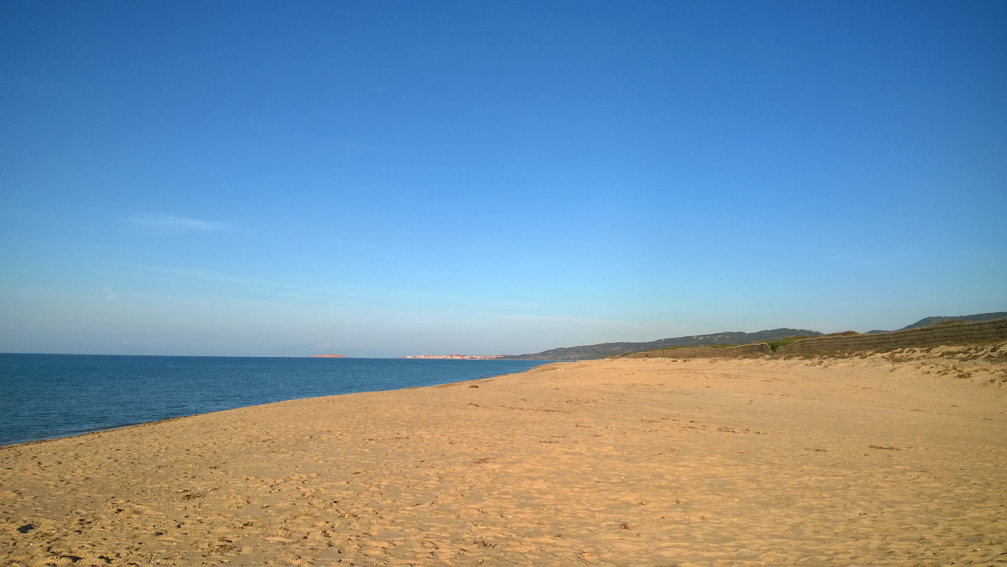
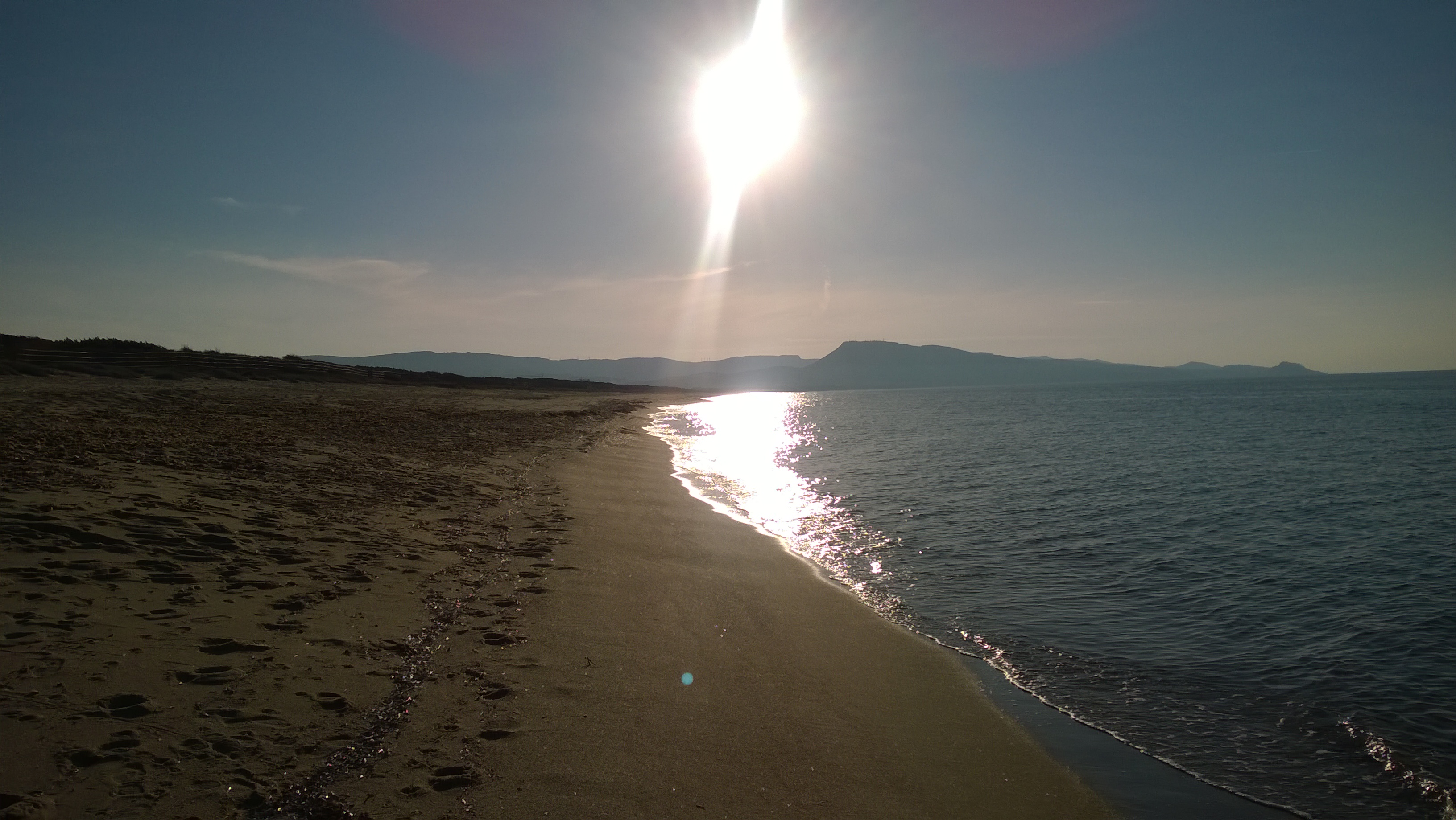
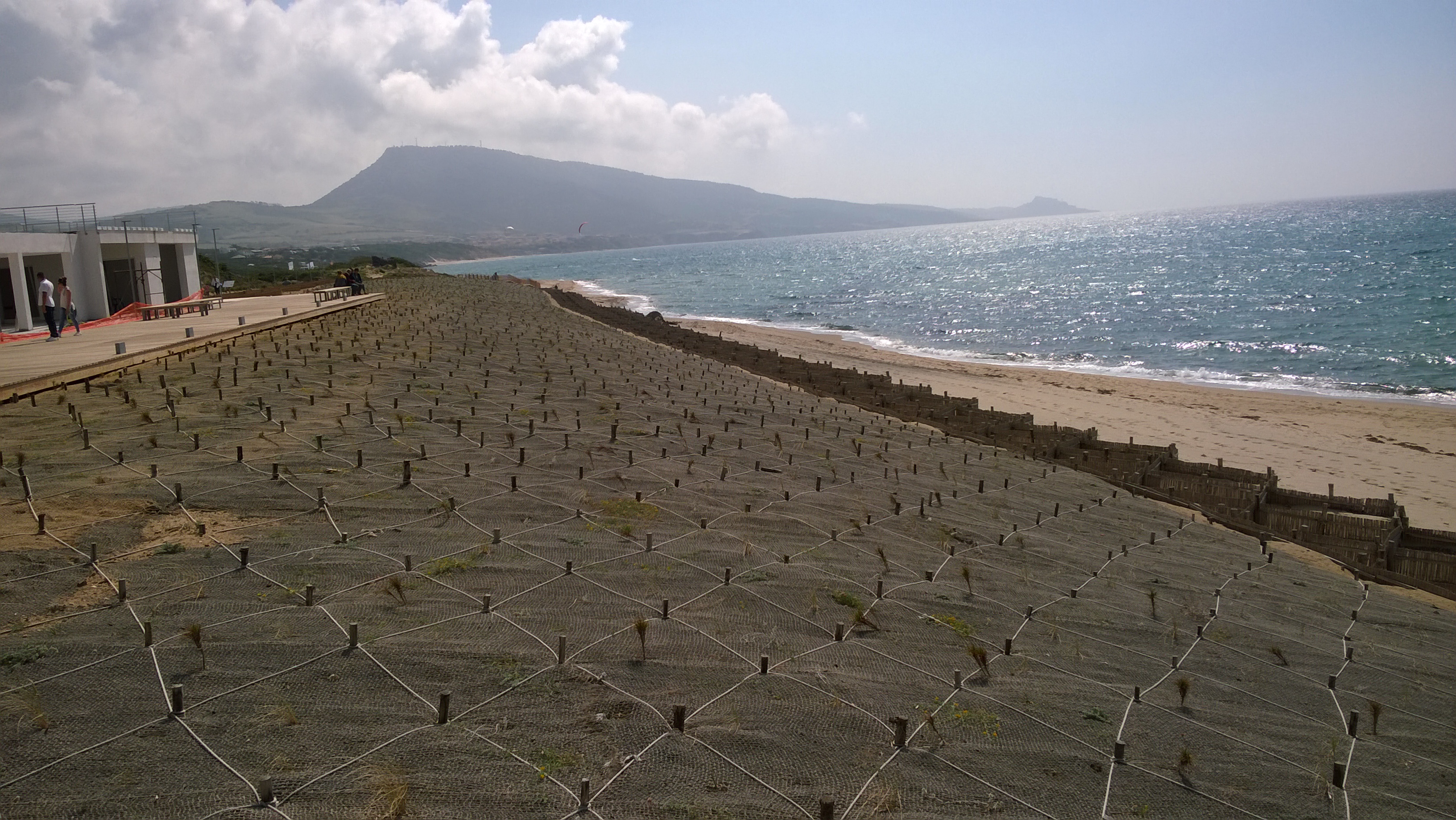
The Asinara Gulf covers approximately 500 km2 and is the second largest bay in Sardinia. The Gulf is limited by Asinara Island (National Park) in the west side and by Castelsardo town in the east side. The average depth of the gulf is approximately 35-40 m and only 35% of the gulf bottom has a depth exceeding 50 m. The predominant winds are from the I and IV quadrant. The marine area of the gulf has been affected since the ‘70s by different human impacts, especially by those connected to the industrial centre of Porto Torres. The main urban centre along the gulf coast is Porto Torres, with an important industrial, commercial and passenger harbour. A long-term series of data is available since 1997 and derives from high-frequency measurements and samplings to assess environmental and biological parameters. In particular the data concern the main trophic descriptors (Secchi depth, temperature, pH, conductivity, dissolved oxygen and saturation, alkalinity, NH4-N, NO2-N, NO3-N, total nitrogen, soluble reactive phosphorus, total phosphorus, dissolved silica) and phytoplankton abundances, as chlorophyll a, cell densities and biomass, class and species composition. Data collection started in 1997 and continued, with few gaps of various sizes of time, up to 2007. The data collection resumed in 2007 only seasonally.


