Operating organization: European Academy of Bolzano (Eurac research)
Funding agency: Autonomous Province of Bolzano – Bozen
Abstract:
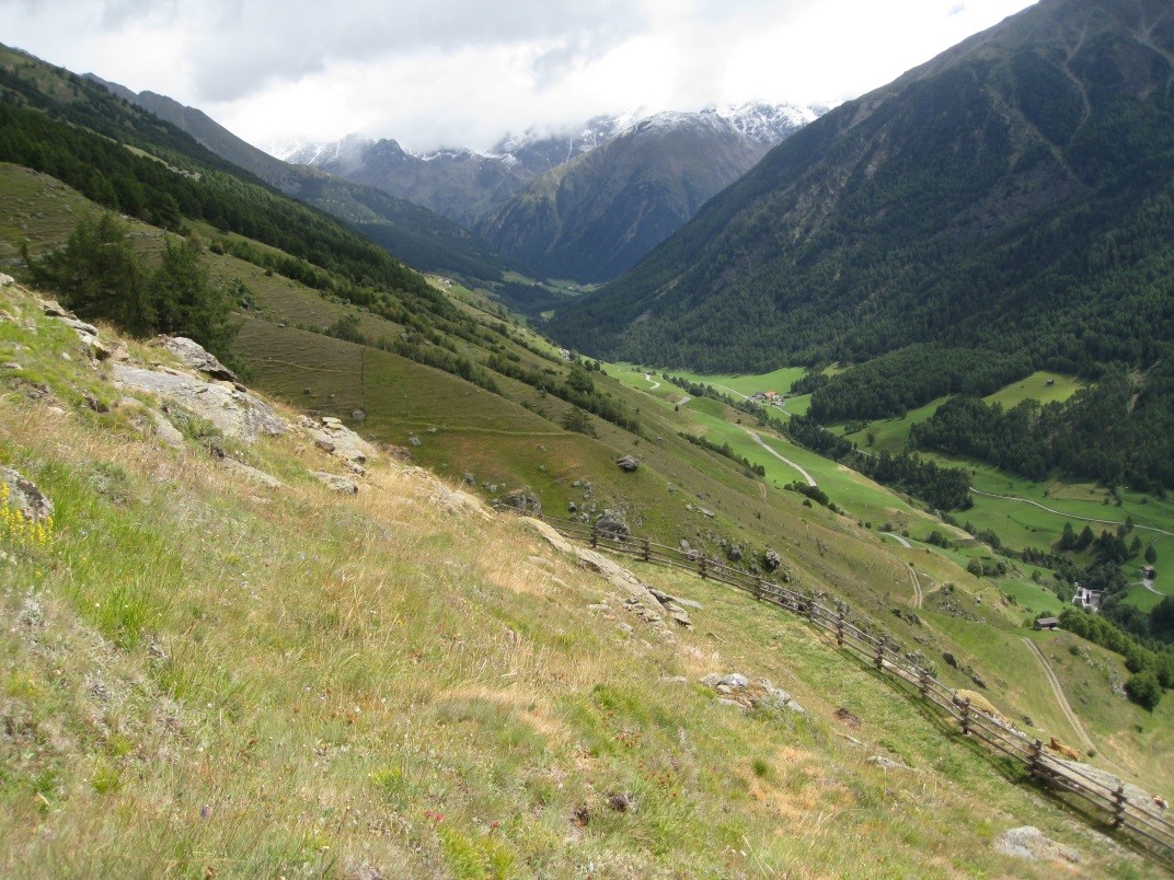
Saldur Catchment covers an area of app. 100 km2 and includes different elevations, topographic aspects and ecosystems (meadows, pastures, forests and glacier forefields).Measurements started in 2010. In total there are 17 weather stations distributed throughout various ecosystem types (cultivated meadows, pastureland, forest, glacier forefield), which enables analyses at a plot level up to a complete landscape level. Measurements are primarily used to validate hydrological models and to model various ecosystem services such as productivity, water availability and protection against natural hazards. This site is also equipped with five units to measure sap flow in the stem and an automatic dendrometer; the data are used to investigate the influence of climate factors on common coniferous trees in the area.