Operating organization: European Academy of Bolzano (Eurac research)
Funding agency: Autonomous Province of Bolzano – Bozen
Abstract:
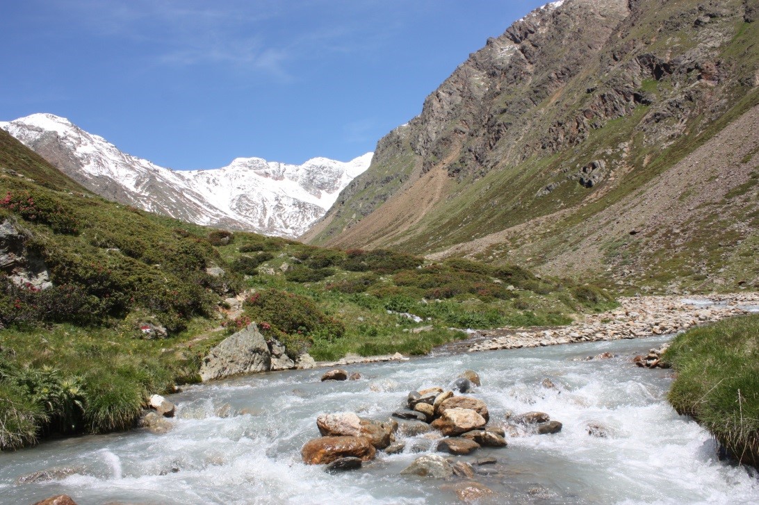
The Saldur River is 22 km long and flows from its source at the glacier (app. 2700m) to the river mouth at 900m. The Saldur river has been a focal point for investigations since the 1980s for various biological and chemical laboratories of the Autonomous Province of Bolzano. There are four main measurement points along the 22km river. One point serves as a regional and national biological water quality monitoring station. The EURAC Institute for Alpine Environment became involved in 2011, collecting additional physical, chemical and biological parameters. In addition to the four main measurement points, which are located in the upper areas of the catchment, there are now sixteen additional points in the river’s main tributaries.


